Log in
All resources
Create a design
1,013 Free Artworks of Coat Of Arms Of France
bibliothèque nationale de france
victor levasseur - maps of france
fonds ancely - bibliothèque municipale de toulouse - maps
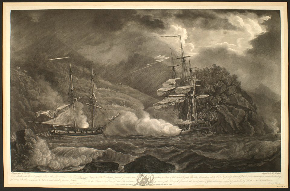
steel engraving print
bibliothèques de toulouse
john rocque
raymond bonheur
remigius parr
john rocque's 1748 map of london and adjacent country
prints of coats of arms in the rijksmuseum amsterdam
17th-century maps of england and wales
maps by willem and johannes blaeu
cartouche (cartography)
maps by john rocque
johann stridbeck the younger
old maps of the tyrol
map of the circle of the rhineland by sanson
1730s maps of rhineland-palatinate
old maps of the strait of gibraltar
hendrik de leth
17th-century maps of carmarthenshire
17th-century maps of pembrokeshire
old maps of whole wales (alone)
1670s maps of wales
19th-century maps of seine-et-marne
coats of arms of seine-et-marne
coats of arms of cities in haute-loire
marquis de lafayette in art
georges-louis leclerc, comte de buffon
coats of arms of dijon
coats of arms of auch
old maps of gers
coats of arms of cities in doubs
bon adrien jeannot de moncey
coats of arms of cities in vaucluse
jean-sifrein maury
partie orientale du temporel de l'archevesché et eslectorat de mayence - et le comté de reineck - par le sieur sanson... - btv1b53202373t
guillaume sanson
bibliothèque nationale de france
johannes le francq van berkhey
1830s maps of puerto rico
nathaniel currier
archevesché et eslectorat de cologne avec ses enclaves dans les pays circonvoisins. tiré des mémoires les plus nouveaux - par le sr sanson... - btv1b532023960
guillaume sanson
bibliothèque nationale de france
hendrik de leth
bibliothèque nationale de france
hendrik de leth
evesché de luçon, dédié à... messire henry de barrillon évesque et baron de luçon... - par son très humble et très obéissant serviteur g. sanson... ; gravé par liébaux - btv1b532271435
guillaume sanson
1630s maps of the iberian peninsula
hessel gerritsz
victor levasseur - maps of france
engravings by nicolas mignard
coats of arms of cities in ardèche
victor levasseur - maps of france
coats of arms of orléans
gaspard de coligny
coats of arms of cities in drôme
jean étienne championnet
19th-century maps of haute-saône
coats of arms of vesoul
victor levasseur - maps of france
old maps of gironde
19th-century maps of loire-atlantique
pierre cambronne
19th-century maps of loire (department)
coats of arms of cities in loire
civitates orbis terrarum. contrafactur und beschreibung von den vornembsten stetten der welt. liber tertius
political diagrams
old maps of plymouth and devonport
16th-century maps of england
william henry toms
henry popple
john rocque's 1748 map of london and adjacent country
remigius parr
john rocque's 1748 map of london and adjacent country
remigius parr
john rocque's 1748 map of london and adjacent country
remigius parr
john rocque's 1748 map of london and adjacent country
remigius parr
john rocque's 1748 map of london and adjacent country
remigius parr
john rocque's 1748 map of london and adjacent country
remigius parr
john rocque's 1748 map of london and adjacent country
remigius parr
john rocque's 1746 map of london
remigius parr
john rocque's 1746 map of london
remigius parr
john rocque's 1748 map of london and adjacent country
remigius parr
john rocque's 1748 map of london and adjacent country
remigius parr
john rocque's 1748 map of london and adjacent country
remigius parr
john rocque's 1748 map of london and adjacent country
remigius parr
john rocque's 1748 map of london and adjacent country
remigius parr
engravings by robert nanteuil
dominique de ligny
male portrait paintings by johann zoffany
neoclassicism
1770s maps of rhineland-palatinate
maps of east palatinate by sanson
bibliothèque nationale de france
guillaume sanson
bibliothèque nationale de france
hendrik de leth
l'espagne divisée by guillaume sanson
1680s maps of the iberian peninsula
beschrijvinghe vande zeeusche eijlanden, soe die op hare stromen geleghen zijn, met een deel vande zee custen van vlaenderen ennde hollant - btv1b532255648
bibliothèque nationale de france
mappe-monde geo-hydrographique (sanson and jaillot, 1674)
louis cordier
le marquisat et eslectorat de brandebourg qui fait partie du cercle de la haute saxe divisé en ses principales marches... - par le sieur sanson ; cordier sculpsit - btv1b532025368
sanson maps of the circles of germany
mappe-monde geo-hydrographique (sanson and jaillot, 1674)
louis cordier
sanson maps of south america
louis cordier
beschrijvinghe vande zeeusche eijlanden, soe die op hare stromen geleghen zijn, met een deel vande zee custen van vlaenderen ennde hollant - btv1b532255648
bibliothèque nationale de france
beschrijvinghe vande zeeusche eijlanden, soe die op hare stromen geleghen zijn, met een deel vande zee custen van vlaenderen ennde hollant - btv1b532255648
bibliothèque nationale de france
portrait engravings in the rijksmuseum amsterdam
jules mazarin par robert nanteuil
portrait prints in the rijksmuseum amsterdam
jules mazarin par robert nanteuil
etchings in the metropolitan museum of art
sébastien leclerc
old maps of the kingdom of naples
1700s maps of italy
1631 stadtbrand von isny im allgäu
baroque
romanticism,neoclassicism
1852 maps of france
old maps of mainz
baroque
die zee caerte van portugal; tusschen camino en montego, alsoe dat landt all daer in sijn ghedaente is, met alle sijne haeven enn ondiepten, met groeter naersticheijt en vliedt ghecorrigeert - btv1b531945351
bibliothèque nationale de france
china veteribus sinarum regio nunc incolis tame dicta
bibliothèque nationale de france
midle-sex described with the most famous cities of london and westminster (1610)
bibliothèque nationale de france
fossa sanctae mariae quae et eugeniana dicitur vulgo de nieuwe grift - btv1b532255218
maps of venlo by willem and johannes blaeu
china veteribus sinarum regio nunc incolis tame dicta
bibliothèque nationale de france
bibliothèque nationale de france
joachim ottens
china veteribus sinarum regio nunc incolis tame dicta
bibliothèque nationale de france
die zee caerte van portugal; tusschen camino en montego, alsoe dat landt all daer in sijn ghedaente is, met alle sijne haeven enn ondiepten, met groeter naersticheijt en vliedt ghecorrigeert - btv1b531945351
bibliothèque nationale de france
midle-sex described with the most famous cities of london and westminster (1610)
context files from gallica
midle-sex described with the most famous cities of london and westminster (1610)
context files from gallica
maps of the iberian peninsula by mercator-hondius
maps by pieter van der keere
die zee caerte van portugal; tusschen camino en montego, alsoe dat landt all daer in sijn ghedaente is, met alle sijne haeven enn ondiepten, met groeter naersticheijt en vliedt ghecorrigeert - btv1b531945351
bibliothèque nationale de france
old maps of regensburg
baroque
coats of arms of cities in lot-et-garonne
victor levasseur - maps of france
maps of county armagh
1760s maps of ireland
william laud
baroque
charles emmanuel ii, duke of savoy
engravings by robert nanteuil
ferdinand de neufville de villeroy
engravings by robert nanteuil
19th century maps of haute-vienne
coats of arms of haute-vienne
coats of arms of nîmes
baroque
coats of arms of chalon-sur-saône
alphonse de lamartine
coats of arms of saint-brieuc
old maps of côtes-d'armor
19th-century maps of indre-et-loire
coats of arms of tours
victor levasseur - maps of france
pierre-jean david
prints in the royal collection of the united kingdom
aquatint prints
maps by jodocus hondius
maps by john speed
maps by jodocus hondius
maps by john speed
17th-century maps of pembrokeshire
old county maps of pembrokeshire
old maps of meurthe (department)
coats of arms of nancy
601 - 700 of 1,013
Next page
/ 11